Road
201 Northern Riviera
Loading map…
Elevation profile
107.9 km · total climb 1590 m · highest point 685 m
Move across the profile and the point follows on the map.
About the route
From the sea to the lakes.
This physically demanding route starts on the coast but takes riders looking for a serious challenge inland, to the Imotska krajina and its harsh, unspoilt karst beauty. The opening climb to Dubci gives a view of Vruja Cove, one of the most beautiful coves on the Adriatic; once you leave the coast behind, the route becomes a loop via Šestanovac and Zagvozd to Imotski, takes in all three 'coloured' lakes (Blue, Red and Green) and returns via Šestanovac to the coast.
Along the route
—
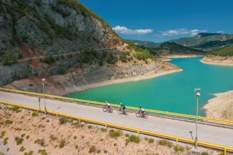
View of the Vruja bay. Views of the Blue, Red, and Green Lakes.
When to go
Best April to May and September to October
Jan
Feb
Mar
Apr
May
Jun
Jul
Aug
Sep
Oct
Nov
Dec
BestGoodPossible, with preparation
Start & access
Start coordinates: 43.3751 N, 16.9257 E
Tips and safety
Spotted a problem on the route?
An obstacle, damage or wrong data — email us, no sign-up needed.