Lungomare
Elevation profile
Move across the profile and the point follows on the map.
About the route
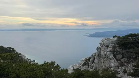
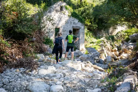
Welcome to a coastal hiking and walking route that will enchant you with beautiful views of the Makarska Riviera, the blue Adriatic and the central Dalmatian islands. It suits everyone who loves nature and an active lifestyle, whatever their fitness or hiking experience.
The route connects the almost hidden oasis of Vruja Bay with the popular and picturesque tourist towns of Brela and Baška Voda. It follows the coastline along nearly the entire route, allowing you to relax, enjoy the walk and the views, breathe in the fragrant sea air and indulge in the beauty of the landscape surrounding you.
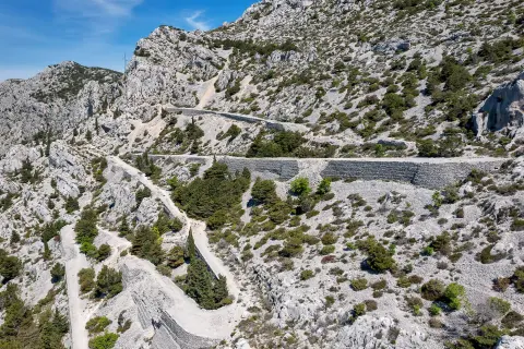
Although it is easy, the route also has an adventurous section right by Vruja Cove, where steeper ground calls for a little more care and effort – but the reward, an adrenaline kick and unforgettable views of the sea and islands, is well worth it.
Regardless of whether you are new to the world of hiking or an experienced adventurer, this route promises an unforgettable experience that is sure to enrich your visit.
Along the route
Vruja Bay: Enjoy a refreshing swim in the clear blue sea, or simply take in the wonderful natural contrast of sea and white rocks.
Views of the Adriatic: Along the whole trail you can enjoy stunning views of the almost vertical slopes of Biokovo and the blue Adriatic above which they rise. So stop, breathe in the fresh sea air and enjoy the immense beauty of nature.
Greenery and Mediterranean flora: The route passes through beautiful and varied green Mediterranean landscapes, so expect to walk past olive groves, pine forests and flower meadows that bring the scenery to life along the entire route.
When to go
Start & access
Start coordinates: 43.4006 N, 16.8791 E
Tips and safety
An obstacle, damage or wrong data — email us, no sign-up needed.