340 Makarska Riviera Transversal
Elevation profile
Move across the profile and the point follows on the map.
About the route
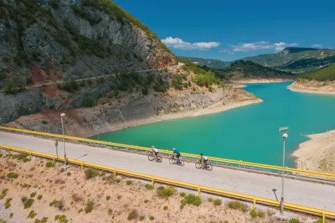
A gentle and interesting road route connects all the beautiful tourist destinations of the Makarska Riviera, while also passing through parts of two daily segments of the EuroVelo 8 route.
The route follows the Adriatic coast road through every village and town on the Makarska Riviera, from Gradac to Brela (or the other way round), and is laid out so that it can link up with the Riviera's other road routes. Although it is physically and technically easy, note that it runs entirely on the D8 state road, where traffic can be heavy, especially in summer, so take care.
When to go
Start & access
Start coordinates: 43.0867 N, 17.3791 E
Tips and safety
Every village and town on the route has cafés and restaurants with a wide choice of food and drink. Traffic on the D8 is heavier in summer, so please take extra care.
An obstacle, damage or wrong data — email us, no sign-up needed.