341 Southern Riviera
Elevation profile
Move across the profile and the point follows on the map.
About the route
The route takes you to explore the southern part of the destination, from Gradac via Ploče and the Baćina Lakes to Polje Jezero near Vrgorac.
Here the route begins to climb via the village Vina to Vrgorac, and soon reaches another demanding climb in the Vrgorac village Kozica before descending back towards the coast and returning to Gradac.
Along the route
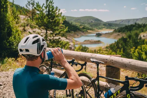
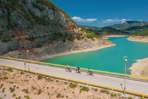
Enjoy the views of Polje Jezero on the climb towards the village of Vina
The descent from Gornje Igrane to the coast belongs in the “legendary” category
When to go
Start & access
Start coordinates: 43.1044 N, 17.3495 E
Tips and safety
The route passes the entrance to Biokovo Nature Park, so more ambitious riders can treat themselves to the climb to Sveti Jure. It's not all about riding: take a break by the sea in one of the picturesque villages of the Makarska Riviera. Vrgorac is a must for stocking up on drinks, as there are no shops, cafés or restaurants between there and the coast.
An obstacle, damage or wrong data — email us, no sign-up needed.