
Active Croatia

Explore routes

72 routes
Road · Dalmatinska Zagora – Split Hinterland
101 Destination Route
120.9 km · 1763 m ↑ · 5:30 h
F5/5T5/5
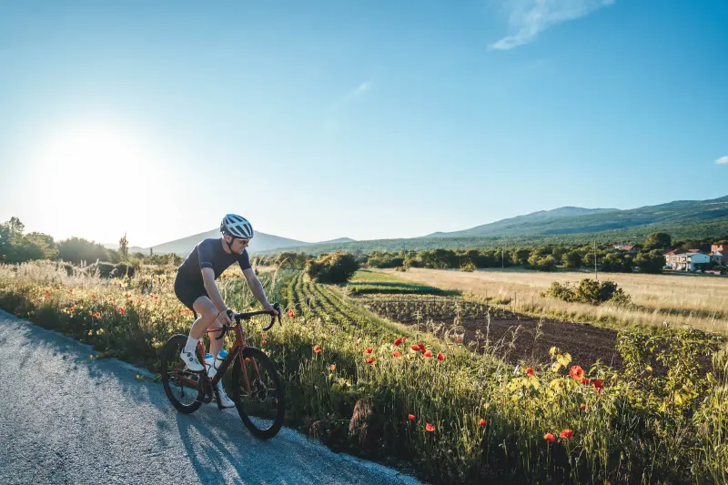
101 Destination RouteRoad
Dalmatinska Zagora – Split Hinterland
101 Destination Route
120.9 km · 1763 m ↑ · 5:30 h
physical5/5technical5/5
A demanding circular road route that takes in almost the whole of the Split Hinterland and nearly all of its varied landscapes.
MTB · Dalmatinska Zagora – Split Hinterland
110 Rajčica
60.4 km · 1196 m ↑ · 4 h
F4/5T2/5
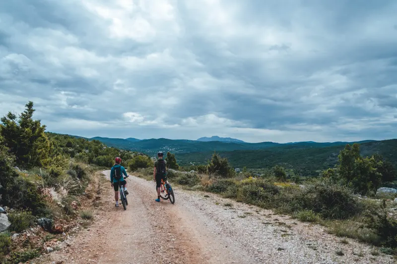
110 RajčicaMTB
Dalmatinska Zagora – Split Hinterland
110 Rajčica
60.4 km · 1196 m ↑ · 4 h
physical4/5technical2/5
A physically harder but technically easier MTB route from Klis Fortress to the Rajčica wells, for riders who love unspoilt nature.
Road · Dalmatinska Zagora – Split Hinterland
401 Vranjača
36.3 km · 456 m ↑ · 1:30 h
F2/5T3/5
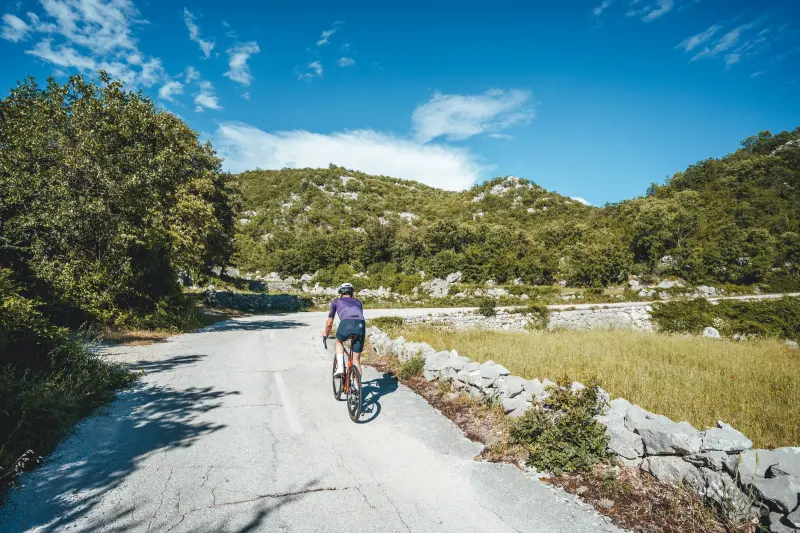
401 VranjačaRoad
Dalmatinska Zagora – Split Hinterland
401 Vranjača
36.3 km · 456 m ↑ · 1:30 h
physical2/5technical3/5
An easier road route from Dugopolje towards Vranjača Cave in the hinterland of Mosor, on quiet roads with little traffic.
Road · Dalmatinska Zagora – Split Hinterland
404 Stella Croatica
50.8 km · 647 m ↑ · 2 h
F3/5T4/5
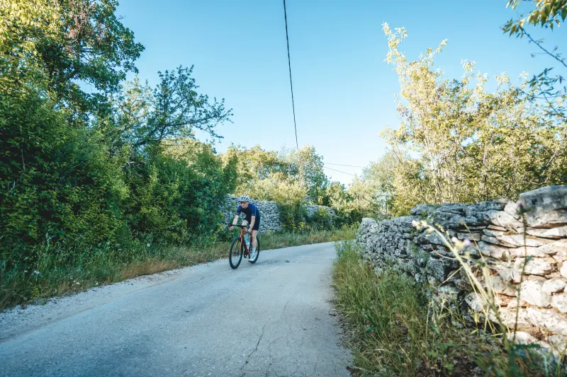
404 Stella CroaticaRoad
Dalmatinska Zagora – Split Hinterland
404 Stella Croatica
50.8 km · 647 m ↑ · 2 h
physical3/5technical4/5
A moderately demanding road route through the rural country below Kozjak, from Dugopolje via Dugobabe and Konjsko to Klis and the Stella Croatica complex.
Road · Dalmatinska Zagora – Split Hinterland
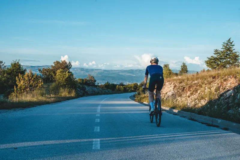
441 Svilaja
62.5 km · 1044 m ↑ · 2:30 h
F3/5T3/5
441 SvilajaRoad
Dalmatinska Zagora – Split Hinterland
441 Svilaja
62.5 km · 1044 m ↑ · 2:30 h
physical3/5technical3/5
A route from Sinj via Muć over Svilaja and back along the Cetina, perfect for riders who like long but not overly steep climbs.
Trekking · Dalmatinska Zagora – Split Hinterland
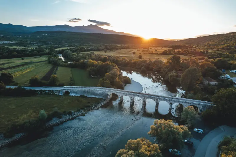
452 Aequum
35 km · 386 m ↑ · 2:30 h
F4/5T4/5
452 AequumTrekking
Dalmatinska Zagora – Split Hinterland
452 Aequum
35 km · 386 m ↑ · 2:30 h
physical4/5technical4/5
A trekking route from Sinj through Lučane to Rumin and along the Cetina to Obrovac Sinjski, returning across Sinjsko polje.
MTB · Dalmatinska Zagora – Split Hinterland
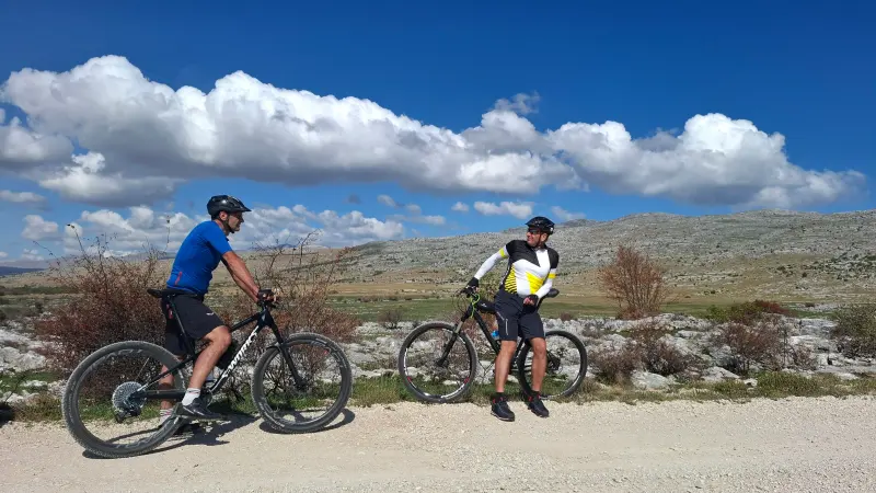
461 Dinara There and Back
28.7 km · 699 m ↑ · 2:30 h
F3/5T2/5
461 Dinara There and BackMTB
Dalmatinska Zagora – Split Hinterland
461 Dinara There and Back
28.7 km · 699 m ↑ · 2:30 h
physical3/5technical2/5
An MTB route of continuous climbing from the banks of the Cetina to the Dinara plateau, with a descent full of views of Lake Peruća and Sinjsko polje.
MTB · Dalmatinska Zagora – Split Hinterland
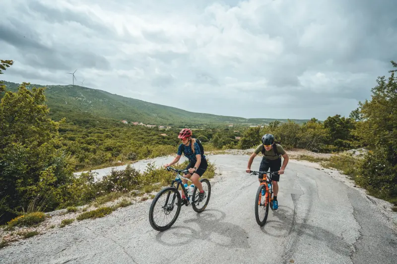
503 Žlabina
36.4 km · 1258 m ↑ · 3:30 h
F4/5T3/5
503 ŽlabinaMTB
Dalmatinska Zagora – Split Hinterland
503 Žlabina
36.4 km · 1258 m ↑ · 3:30 h
physical4/5technical3/5
A classic out-and-back MTB climb from the Ruda spring towards Kamešnica: 18 km of climbing and the same way down, with more than 1,200 m of ascent.
Trekking · Dalmatinska Zagora – Split Hinterland
504 Nutjak
19.9 km · 394 m ↑ · 2 h
F4/5T5/5
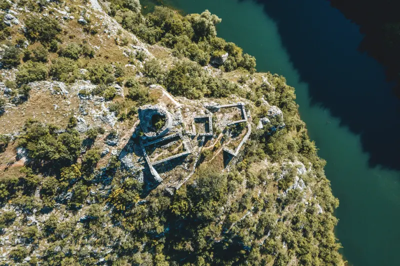
504 NutjakTrekking
Dalmatinska Zagora – Split Hinterland
504 Nutjak
19.9 km · 394 m ↑ · 2 h
physical4/5technical5/5
A technically and physically demanding trekking route from Trilj to Nutjak fortress above the Cetina canyon, through rural country full of river views.
Trekking · Dalmatinska Zagora – Split Hinterland
511 Springs and Rivers
46.3 km · 258 m ↑ · 3 h
F4/5T2/5
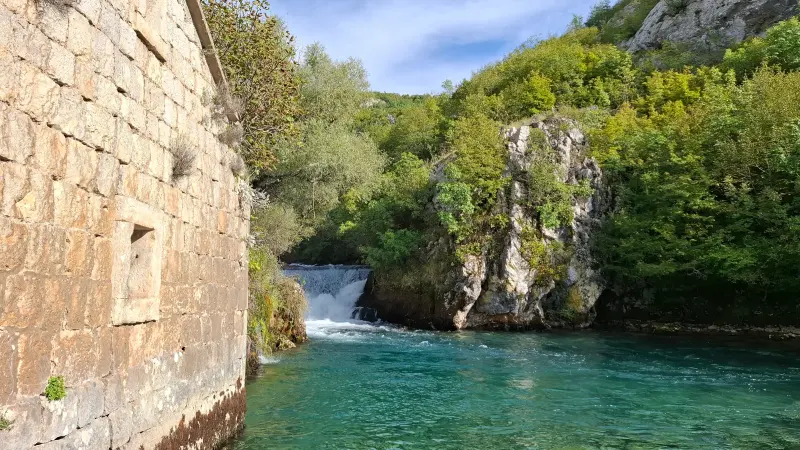
511 Springs and RiversTrekking
Dalmatinska Zagora – Split Hinterland
511 Springs and Rivers
46.3 km · 258 m ↑ · 3 h
physical4/5technical2/5
An almost flat trekking route along the edge of Sinjsko polje, from Trilj via Sinj to the springs of the Grab and the Ruda, for easy riding and exploring.
Trekking · Dalmatinska Zagora – Split Hinterland
540 Eye of Dalmatia
26.5 km · 264 m ↑ · 2 h
F3/5T4/5
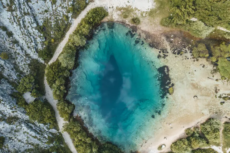
540 Eye of DalmatiaTrekking
Dalmatinska Zagora – Split Hinterland
540 Eye of Dalmatia
26.5 km · 264 m ↑ · 2 h
physical3/5technical4/5
A trekking route from Vrlika along the Cetina, over Balečki Bridge and past Pločasti Bridge, to the famous source of the Cetina known as the Eye of Dalmatia.
Trekking · Dalmatinska Zagora – Split Hinterland
541 From Source to Mouth
114.7 km · 1279 m ↑ · 8 h
F5/5T5/5
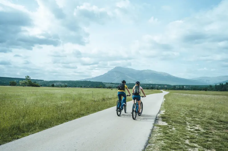
541 From Source to MouthTrekking
Dalmatinska Zagora – Split Hinterland
541 From Source to Mouth
114.7 km · 1279 m ↑ · 8 h
physical5/5technical5/5
A long, challenging route along the Cetina from its source near Vrlika to its mouth in Omiš, ideal for a multi-day cycling adventure.
Trekking · Neretva Valley
Baćina Lakes
9.2 km · 84 m ↑ · 0:40 h
F1/5T1/5
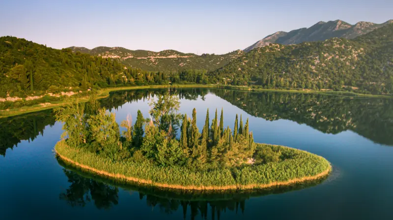
Baćina LakesTrekking
Neretva Valley
Baćina Lakes
9.2 km · 84 m ↑ · 0:40 h
physical1/5technical1/5
A short circular trekking route around the Baćina Lakes near Ploče, for an inspiring family outing with a birdwatching hide, kayak hire and swimming.
Road · Neretva Valley
Southern Circle
66.2 km · 812 m ↑ · 2:30 h
F2/5T3/5
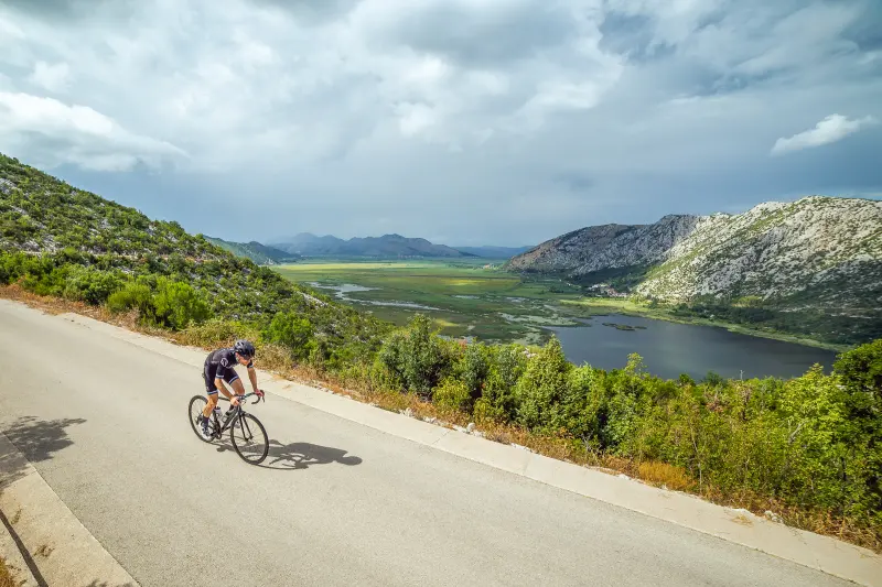
Southern CircleRoad
Neretva Valley
Southern Circle
66.2 km · 812 m ↑ · 2:30 h
physical2/5technical3/5
A circular road route through the southern part of the valley from Opuzen via Metković and Zažablje, climbing towards Zavala Slivno and descending to Klek on the coast.
Trekking · Neretva Valley
Mandarina Ride
15.2 km · 52 m ↑ · 1 h
F1/5T1/5
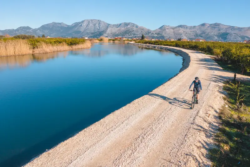
Mandarina RideTrekking
Neretva Valley
Mandarina Ride
15.2 km · 52 m ↑ · 1 h
physical1/5technical1/5
An easy trekking route through the seemingly endless mandarin plantations south of the Mala Neretva near Opuzen, suitable for all riders regardless of age or fitness.
Road · Neretva Valley
Ploče – Vrgorac – Podgora
107.4 km · 1834 m ↑ · 4:30 h
F4/5T2/5
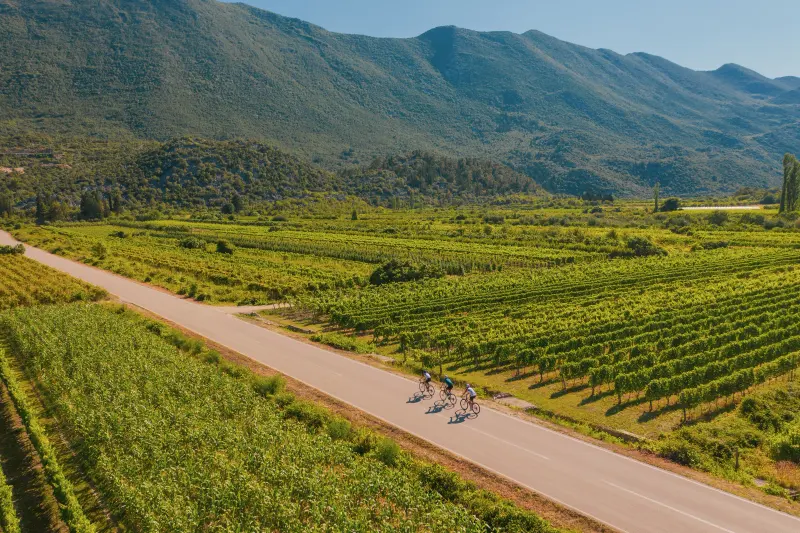
Ploče – Vrgorac – PodgoraRoad
Neretva Valley
Ploče – Vrgorac – Podgora
107.4 km · 1834 m ↑ · 4:30 h
physical4/5technical2/5
The longest and toughest #1valley route: from Ploče via Polje Jezero and Vrgorac, along the edge of Biokovo Nature Park to Podgora and back on the Adriatic Highway.
Trekking · Neretva Valley
Through the Fields to the River Mouth
22 km · 79 m ↑ · 1:30 h
F1/5T1/5
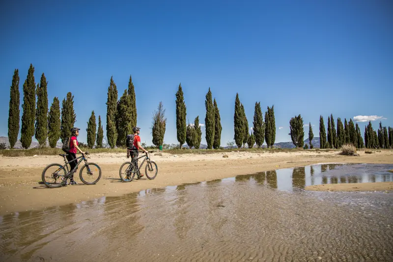
Through the Fields to the River MouthTrekking
Neretva Valley
Through the Fields to the River Mouth
22 km · 79 m ↑ · 1:30 h
physical1/5technical1/5
A flat trekking route with no climbs through the fertile fields of the delta to the mouth of the Neretva, suitable for riders of all abilities and ages.
Road · Neretva Valley
Northern Circle
56.3 km · 719 m ↑ · 2 h
F2/5T2/5
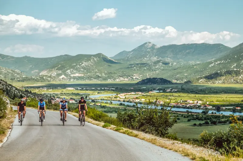
Northern CircleRoad
Neretva Valley
Northern Circle
56.3 km · 719 m ↑ · 2 h
physical2/5technical2/5
A circular road route through the northern half of the valley from Kula Norinska via Desne, Ploče and Polje Jezero, with spectacular viewpoints.
Trekking · Neretva Valley
The Heart of the Valley
56.6 km · 59 m ↑ · 3 h
F3/5T1/5
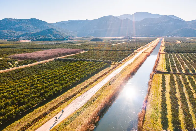
The Heart of the ValleyTrekking
Neretva Valley
The Heart of the Valley
56.6 km · 59 m ↑ · 3 h
physical3/5technical1/5
A longer trekking route from the Narona Archaeological Museum in Vid along the Neretva via Metković and Opuzen to the river mouth, returning along the right bank.
Road · Neretva Valley
Big Circle
100.4 km · 1292 m ↑ · 4 h
F3/5T3/5
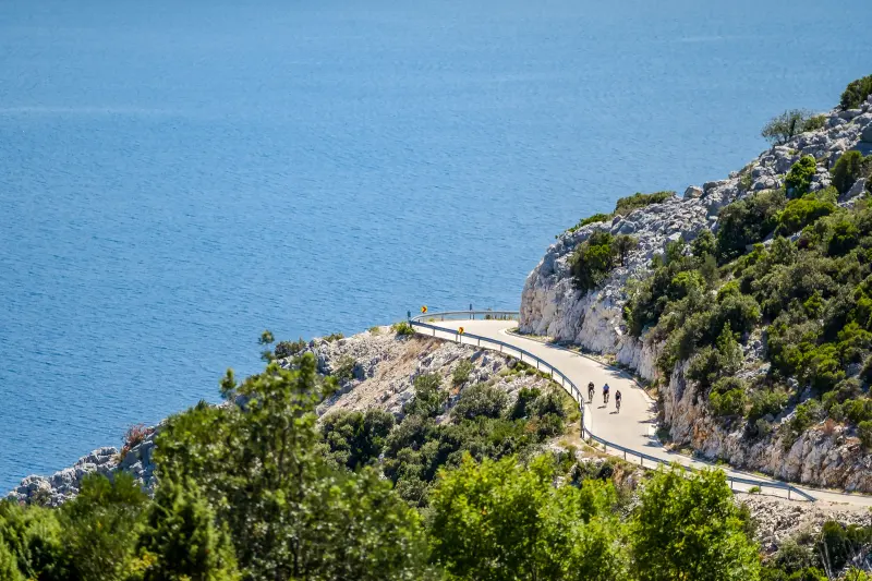
Big CircleRoad
Neretva Valley
Big Circle
100.4 km · 1292 m ↑ · 4 h
physical3/5technical3/5
A road loop of around a hundred kilometres around the whole Neretva Valley: from Metković via Zažablje, Klek, Blace, Ploče and Polje Jezero and back along the river.
Gravel · Ludbreg
Gravel Kalnik
77.7 km · 1265 m ↑ · 4:30 h
F4/5T3/5
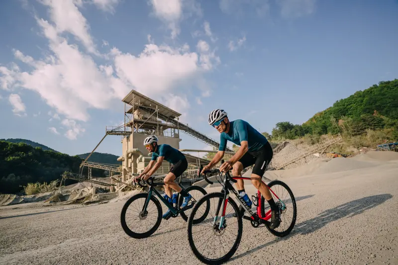
Gravel KalnikGravel
Ludbreg
Gravel Kalnik
77.7 km · 1265 m ↑ · 4:30 h
physical4/5technical3/5
A tougher gravel route from Ludbreg on forest tracks up Kalnik, with a climb of up to 21% in places and a thrilling descent through the forest towards the quarry near Ljubešćica.
Gravel · Ludbreg
Gravel Ludbreg
64 km · 55 m ↑ · 3 h
F2/5T1/5
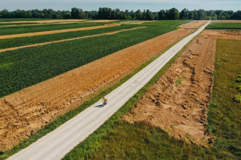
Gravel LudbregGravel
Ludbreg
Gravel Ludbreg
64 km · 55 m ↑ · 3 h
physical2/5technical1/5
A long, flat gravel route north of Ludbreg, mostly on gravel, along the southern shore of Lake Dubrava and the old courses of the Drava and Bednja.
Road · Ludbreg
Kalnik Loop
104.5 km · 1057 m ↑ · 4:30 h
F4/5T2/5
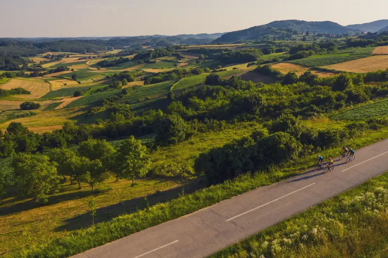
Kalnik LoopRoad
Ludbreg
Kalnik Loop
104.5 km · 1057 m ↑ · 4:30 h
physical4/5technical2/5
A demanding circular road route around Kalnik on good, quiet roads, with a climb to the mountain hut on Kalnik and another near Sudovec.
Trekking · Ludbreg
Ludbreg City
6.6 km · 10 m ↑ · 1:30 h
F1/5T1/5
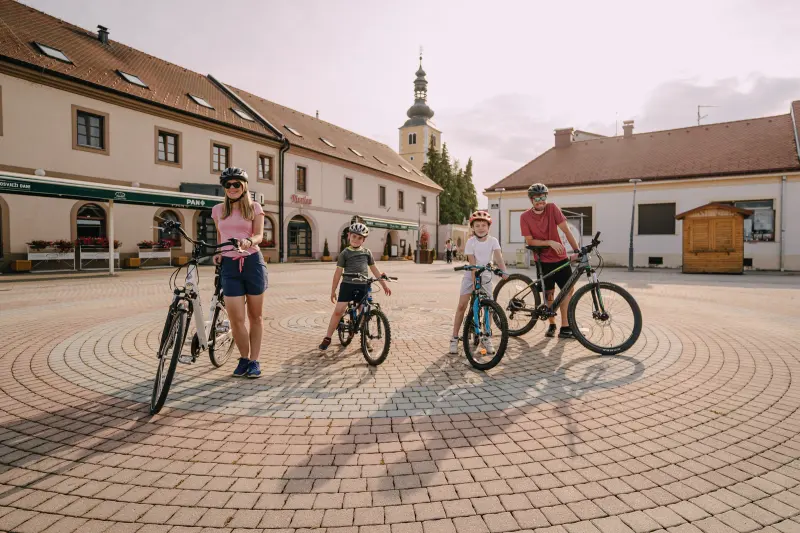
Ludbreg CityTrekking
Ludbreg
Ludbreg City
6.6 km · 10 m ↑ · 1:30 h
physical1/5technical1/5
A short, easy circular town route through Ludbreg's historic core and Otok Mladosti, suitable for absolutely everyone.
Trekking · Ludbreg
Trekking Ludbreg Short
28.7 km · 25 m ↑ · 1:45 h
F1/5T1/5
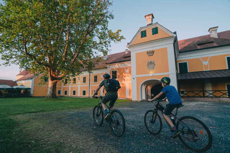
Trekking Ludbreg ShortTrekking
Ludbreg
Trekking Ludbreg Short
28.7 km · 25 m ↑ · 1:45 h
physical1/5technical1/5
A pleasant, flat trekking route from Ludbreg along the Bednja to Veliki Bukovec and Drašković Castle, returning on idyllic roads and tracks east of town.
Trekking · Ludbreg
Trekking Ludbreg Long
39.9 km · 111 m ↑ · 2:45 h
F2/5T1/5
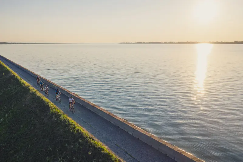
Trekking Ludbreg LongTrekking
Ludbreg
Trekking Ludbreg Long
39.9 km · 111 m ↑ · 2:45 h
physical2/5technical1/5
The longer of Ludbreg's two trekking routes: a flat loop through fields and woodland along the Bednja, via Veliki Bukovec to the shore of Lake Dubrava and back to Ludbreg.
Road · Makarska Riviera, Biokovo and Zabiokovlje
201 Northern Riviera
107.9 km · 1590 m ↑ · 4 h
F4/5T2/5
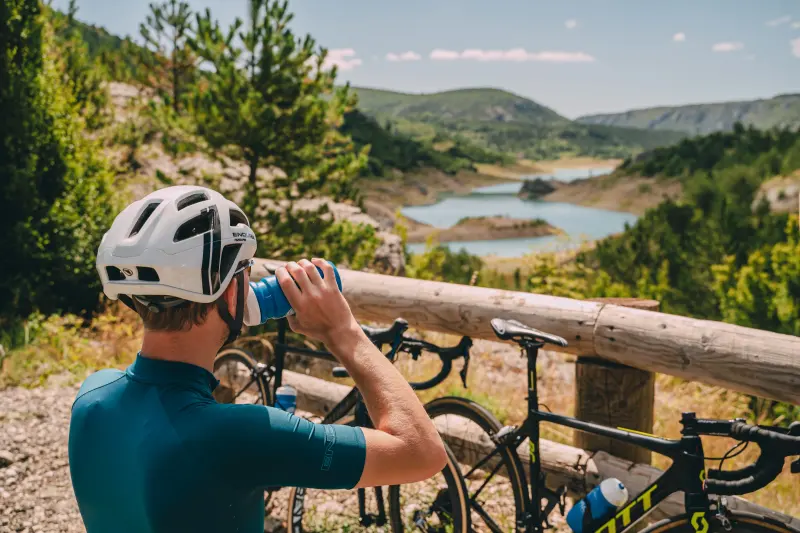
201 Northern RivieraRoad
Makarska Riviera, Biokovo and Zabiokovlje
201 Northern Riviera
107.9 km · 1590 m ↑ · 4 h
physical4/5technical2/5
From the sea to the lake.
Road · Makarska Riviera, Biokovo and Zabiokovlje
241 From Zero to Hero
62.6 km · 2017 m ↑ · 4 h
F5/5T5/5
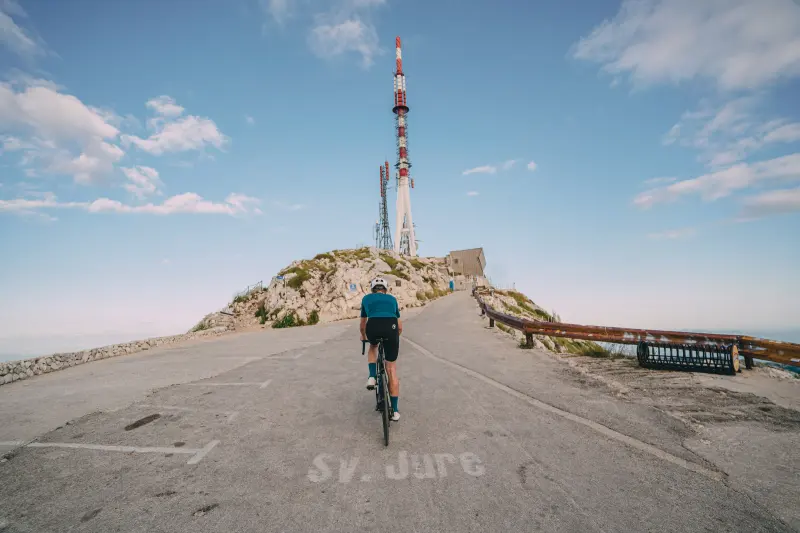
241 From Zero to HeroRoad
Makarska Riviera, Biokovo and Zabiokovlje
241 From Zero to Hero
62.6 km · 2017 m ↑ · 4 h
physical5/5technical5/5
From sea level (literally) all the way to the third highest peak in Croatia, a unique, thrilling, and demanding route named "From Zero to Hero" leads you.
Road · Makarska Riviera, Biokovo and Zabiokovlje
242 Around Biokovo
100.4 km · 1612 m ↑ · 4 h
F3/5T4/5
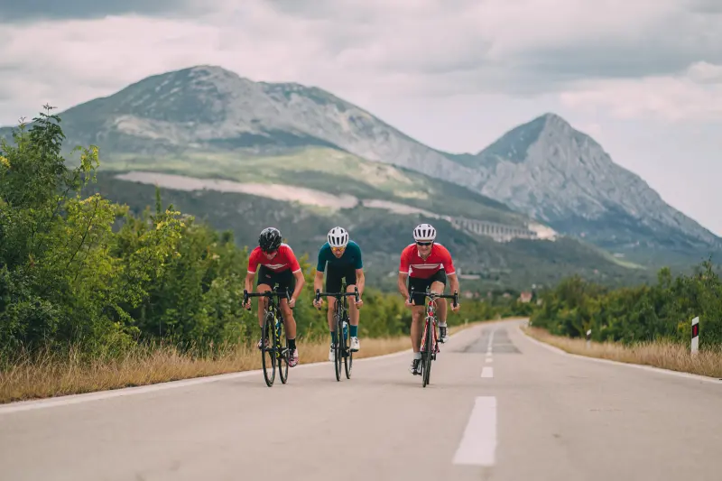
242 Around BiokovoRoad
Makarska Riviera, Biokovo and Zabiokovlje
242 Around Biokovo
100.4 km · 1612 m ↑ · 4 h
physical3/5technical4/5
A classic, circular, and one hundred kilometers long road route encircles Biokovo, connecting coastal towns and inland areas with the expanses of the mountain, while also touching the peripheral parts of the nature park.
Road · Makarska Riviera, Biokovo and Zabiokovlje
243 Destination Route
180 km · 2996 m ↑ · 7 h
F5/5T5/5
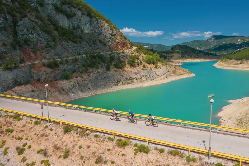
243 Destination RouteRoad
Makarska Riviera, Biokovo and Zabiokovlje
243 Destination Route
180 km · 2996 m ↑ · 7 h
physical5/5technical5/5
This challenging, circular road route offers everything that "serious" cyclists seek: physical and technical challenges, as well as a long ride through beautiful roads with low traffic intensity amidst untouched nature.
Road · Makarska Riviera, Biokovo and Zabiokovlje
321 From the Sea to the Field
90.7 km · 2123 m ↑ · 3:30 h
F4/5T5/5
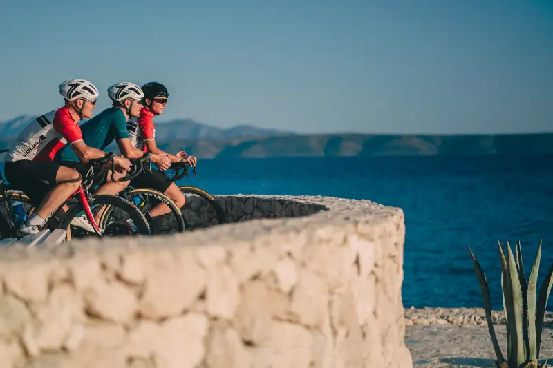
321 From the Sea to the FieldRoad
Makarska Riviera, Biokovo and Zabiokovlje
321 From the Sea to the Field
90.7 km · 2123 m ↑ · 3:30 h
physical4/5technical5/5
With three challenging ascents and low traffic intensity, this route offers the ideal combination of struggle and sense of achievement for all road cycling enthusiasts.
Road · Makarska Riviera, Biokovo and Zabiokovlje
340 Makarska Riviera Transversal
62.4 km · 764 m ↑ · 2:15 h
F2/5T1/5
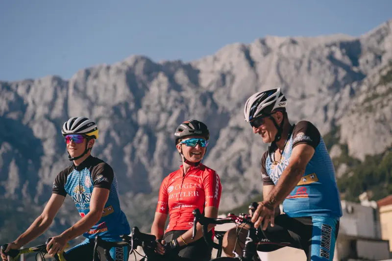
340 Makarska Riviera TransversalRoad
Makarska Riviera, Biokovo and Zabiokovlje
340 Makarska Riviera Transversal
62.4 km · 764 m ↑ · 2:15 h
physical2/5technical1/5
A gentle and interesting road route connects all the beautiful tourist destinations of the Makarska Riviera, while also passing through parts of two daily segments of the EuroVelo 8 route.
Road · Makarska Riviera, Biokovo and Zabiokovlje
341 Southern Riviera
107.4 km · 1828 m ↑ · 4:30 h
F4/5T5/5
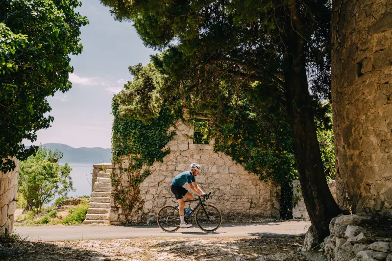
341 Southern RivieraRoad
Makarska Riviera, Biokovo and Zabiokovlje
341 Southern Riviera
107.4 km · 1828 m ↑ · 4:30 h
physical4/5technical5/5
The route takes you to explore the southern part of the destination, from Gradac via Ploče and the Baćina Lakes to Polje Jezero near Vrgorac.
Road · Makarska Riviera, Biokovo and Zabiokovlje
600 From the Lake to the Field
106.5 km · 2079 m ↑ · 4:30 h
F4/5T5/5
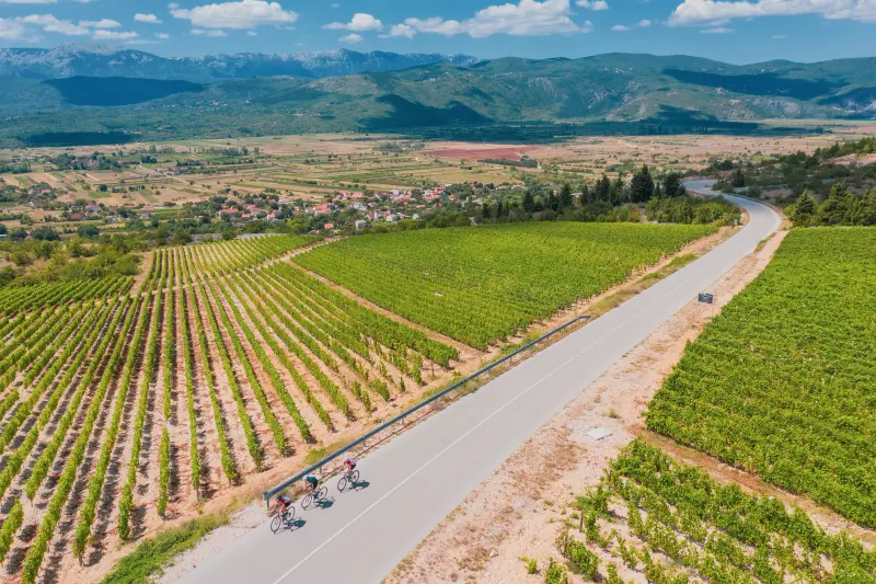
600 From the Lake to the FieldRoad
Makarska Riviera, Biokovo and Zabiokovlje
600 From the Lake to the Field
106.5 km · 2079 m ↑ · 4:30 h
physical4/5technical5/5
Zabiokovlje, with its network of hilly roads and very low traffic intensity, is tailor-made for road cycling.
Hiking · Makarska Riviera, Biokovo and Zabiokovlje
Bukovac
9.9 km · 811 m ↑ · 4 h
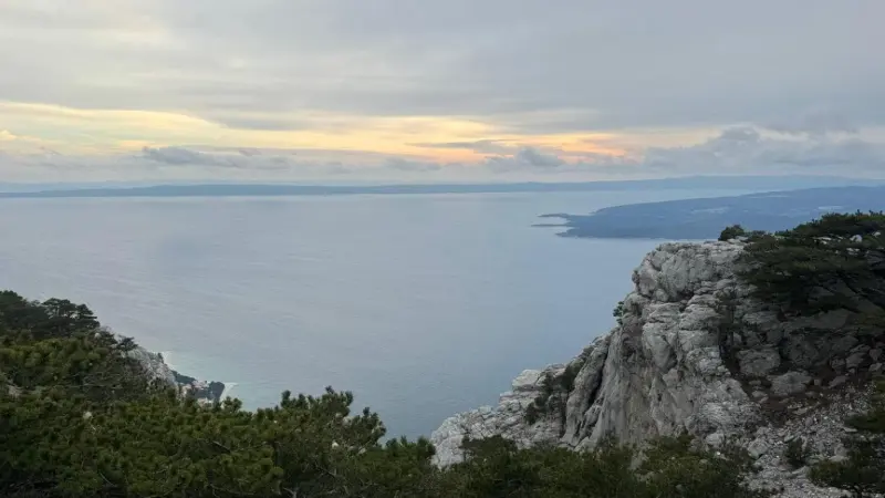
BukovacHiking
Makarska Riviera, Biokovo and Zabiokovlje
Bukovac
9.9 km · 811 m ↑ · 4 h
This popular but physically demanding route takes you on an unforgettable journey through the beautiful landscape of Biokovo Nature Park.
Hiking · Makarska Riviera, Biokovo and Zabiokovlje
French Road
5 km · 283 m ↑ · 1:45 h
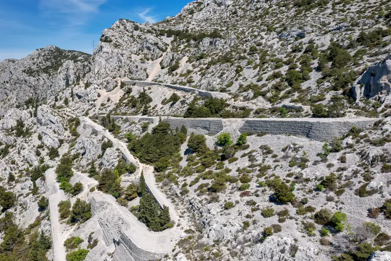
French RoadHiking
Makarska Riviera, Biokovo and Zabiokovlje
French Road
5 km · 283 m ↑ · 1:45 h
This interesting and unique, 4.9 kilometre route long hiking route leads through the outskirts of Biokovo Nature Park and offers an opportunity to explore the untouched beauty of this mountain massif, while enjoying spectacular views of the Adriatic Sea and the surrounding islands.
Hiking · Makarska Riviera, Biokovo and Zabiokovlje
Lungomare
8.6 km · 170 m ↑ · 2 h
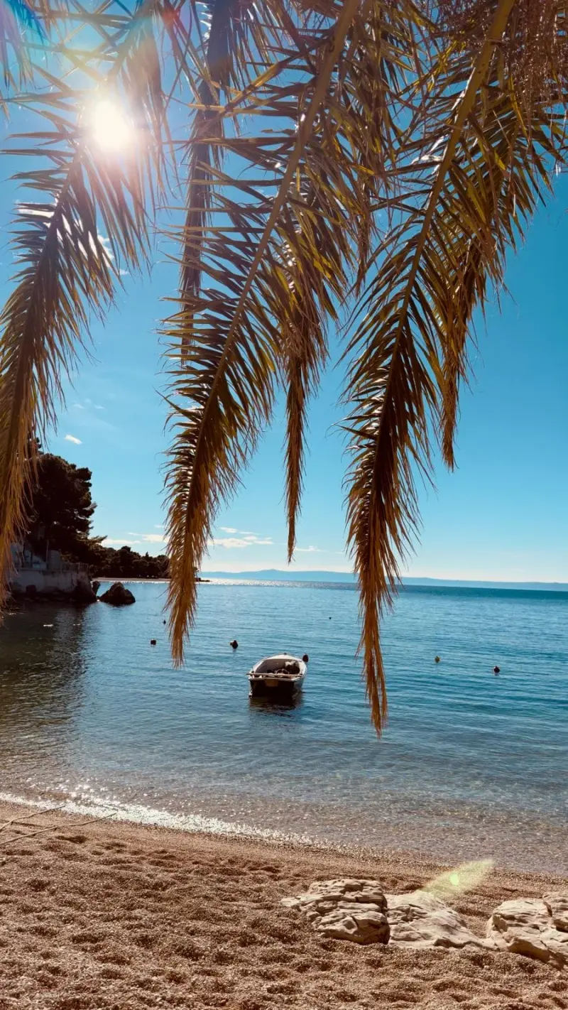
LungomareHiking
Makarska Riviera, Biokovo and Zabiokovlje
Lungomare
8.6 km · 170 m ↑ · 2 h
Welcome to a coastal hiking and walking route that will enchant you with beautiful views of the Makarska Riviera, the blue Adriatic and the central Dalmatian islands. It suits everyone who loves nature and an active lifestyle, whatever their fitness or hiking experience.
Hiking · Makarska Riviera, Biokovo and Zabiokovlje
Mlinice Hike
4.7 km · 204 m ↑ · 1:30 h
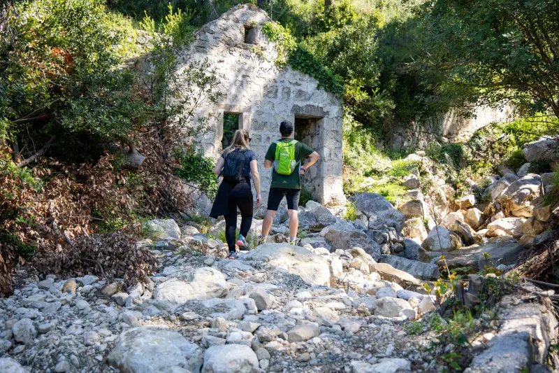
Mlinice HikeHiking
Makarska Riviera, Biokovo and Zabiokovlje
Mlinice Hike
4.7 km · 204 m ↑ · 1:30 h
Mlinice Hike offers a pleasant and picturesque adventure through nature and historical sites, with a length of 4.6 km and total climb of 189 meters.
Hiking · Makarska Riviera, Biokovo and Zabiokovlje
Pakline
9.1 km · 770 m ↑ · 3:30 h
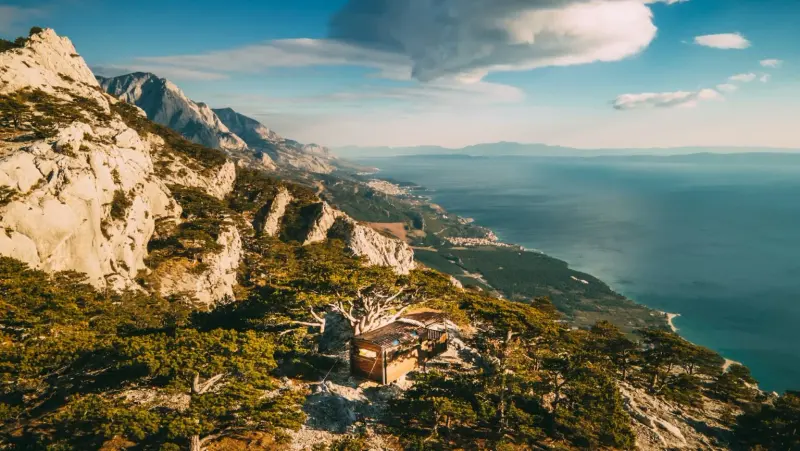
PaklineHiking
Makarska Riviera, Biokovo and Zabiokovlje
Pakline
9.1 km · 770 m ↑ · 3:30 h
Pakline, a more physically demanding hiking route, will take you through the spectacular landscapes of Mount Biokovo.
Trail running · Makarska Riviera, Biokovo and Zabiokovlje
Podgora Trail Run
13.8 km · 520 m ↑ · 1:45 h
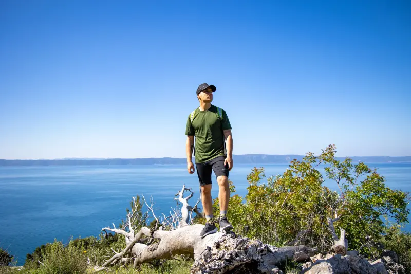
Podgora Trail RunTrail running
Makarska Riviera, Biokovo and Zabiokovlje
Podgora Trail Run
13.8 km · 520 m ↑ · 1:45 h
The Podgora Trail Run is a dynamic and challenging course for runners, combining different terrains and beautiful landscapes above Podgora.